Twin Couloirs of Deseret Peak
With spring in the air and avalanche instabilities mostly settled out, it’s time to tackle some of the biggest line objectives in the Wasatch and beyond. Photographer Steve Lloyd suggested we head to ski the Twin Couloirs of Deseret Peak, located in the Stansburys. Although I still have many lines in the Wasatch on my hit list, I’m always eager to check out a new mountain range. The Stansburys are about an hour from Salt Lake City located near Tooele, Grantsville (where Canaries on the Rim takes place) and the Great Salt Lake. Deseret Peak (11,035 ft, 3,363 m) is the highest peak in the range. It rises high above the desert and provides great views of the lake, Skull Valley and Dugway Proving Ground. A side note on Dugway in case you’re interested:… Dugway Proving Ground is a military testing facility located approximately 80 miles southwest of Salt Lake City. For several decades, Dugway has been the site of testing for various chemical and biological agents. From 1951 through 1969, hundreds, perhaps thousands of open-air tests using bacteria and viruses that cause disease in human, animals, and plants were conducted at Dugway… It is unknown how many people in the surrounding vicinity were also exposed to potentially harmful agents used in open-air tests at Dugway.[9]
The Dugway business aside, the Twin Peaks are a relatively big mission compared to simple approaches in the Wasatch. We thought it was a 1.5 hr drive, a 2 mile snowmobile in and then a couple mile hike to the top. With record high temperatures forecasted, we decided it would be best to meet the night before and snowcamp. Our journey began here, at the TA Salt Lake Travel Center and gas station in Tooele, where we met photographer Steve Lloyd. We loaded up on snack food and started making our way to the trailhead.
![IMG_2425[1]](https://carolinegleich.com/wp-content/uploads/2013/03/IMG_24251.jpg "IMG_2425[1]")
I followed these directions from Summit Post (note, picture will open a link to original page):
![IMG_2426[1]](https://carolinegleich.com/wp-content/uploads/2013/03/IMG_24261.png "IMG_2426[1]")
They were reliable and took us to where we needed to go, except that the road to Loop Campground is closed until later in the season (not sure when it opens). Our original plan was to snowmobile into the campground and camp there, but we decided just to sleep at the cars and make a quick exit in the morning.
We woke up at 5:30 am, packed up, and hit the trail on the sled; Steve took turns shuttling Forrest and me. The road was a mix of snow and dirt and it was rough going (mostly for the sled). We thought it was 2 miles but it’s actually 4.
![IMG_2434[1]](https://carolinegleich.com/wp-content/uploads/2013/03/IMG_24341.jpg "IMG_2434[1]")
Our ride in.
![IMG_2439[1]](https://carolinegleich.com/wp-content/uploads/2013/03/IMG_24391.jpg "IMG_2439[1]")
Deseret Peak Wilderness – I always love the typography of these signs.

Sunrise over the mountains. Beautiful feather cloud graphic print.

The old crusted trail. We didn’t see another soul the entire day.

Looking over the Great Salt Lake.

Steve Lloyd on the approach.

Forrest stopping for a drink.

Our first view of the Twin Couloirs.

Taking in the scenery and planning my approach. (and it’s already getting hot!)

Getting ready to charge up the mountain. Only two or so thousand feet to go!

Forrest Shearer and me skinning (I’m happy to say I broke trail the whole way)
I skinned as far as I could, booted, skied the top half of the left couloir, booted back up and skied the right couloir!


We were surrounded by beautiful Quartzite towers.

Mandatory selfie in the chute


Can you spot the snowboarder at the top?

Steve Lloyd nearing the top


Clif Bars are our favorite, they pair well with potato chips.

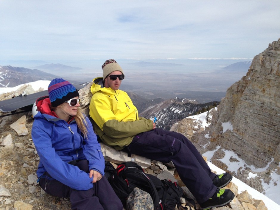
Lunch time view


Heart shaped lichen on quartzite makes me so happy! Love is everywhere!

Stoked and ready to shred!

Dropping in!

Skiing with a smile!

We were fortunate to enjoy nice corn most of the way down. Once we were off the steeps, however, it quickly turned to mank.

The loud rumbles of avalanches on the South and East facing slopes was unnerving, but we were out of harms’ way.

Here’s when you know it’s time to go, big pinwheels and snowballs were coming down wherever we went.

And then, the long, hot road out.

Stopping to check out some climbing projects.

When the snow ran out, we walked. Pray for more snow people!

Back at the car, we stripped down quickly and reydrated.

And a look back at the Stansbury range.
Obviously, on hot spring days, you have to use slope aspect and angles to your advantage. We were on a primarily North face couloir so it didn’t heat up like the rest, but had our objective been east, west or south, we would’ve needed to be on it much much earlier!
Overall, such a fun mission! Can’t wait for the next one. Have fun out there and stay safe!